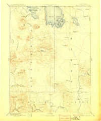
1892 Map of Modoc Lava Bed
USGS Topo · Published 1908About this map
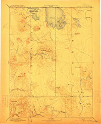
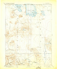
The volcanic expanse of the Modoc Lava Bed dominates this reconnaissance survey, a landscape defined by jagged Lava Ridges, craters, and the towering peak of Glass Mt. To the north, the water levels of Lower Klamath Lake and Tule Lake are shown as they existed before modern reclamation projects fundamentally altered the regional hydrology. Within Tule Lake, Snake Island and Bloody Point stand as prominent landmarks of the Modoc War era, with the Modoc Rifle Pit noted nearby. Settlement is sparse and concentrated primarily along watercourses like the Pit River, where small communities such as Bieber, Burgettville, and Pittville served as early regional hubs. The presence of a Ferry on the Pit River and various water holes and springs emphasizes the critical importance of reliable transit and water sources in this high-desert environment.
Find a feature on this map
65 named features on this map. Tap any name to fly to it.
Don’t see what you’re looking for? This feature index may not catch every label — zoom into the map to look around manually.
Map Details
Editions of this 1892 Modoc Lava Bed Map
7 editions found
Other maps of this area

1886 · Alturas
USGS Topo · 1:250,000

1886 · Honey Lake
USGS Topo · 1:250,000

1886 · Lassen Peak
USGS Topo · 1:250,000

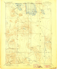
1886 · Modoc Lava Bed
USGS Topo · 1:250,000

1886 · Shasta
USGS Topo · 1:250,000

1889 · Klamath
USGS Topo · 1:250,000

1890 · Red Bluff
USGS Topo · 1:250,000

1891 · Honey Lake
USGS Topo · 1:250,000

1891 · Ashland
USGS Topo · 1:250,000

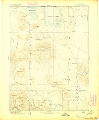
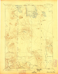
1892 · Modoc Lava-Bed
USGS Topo · 1:250,000