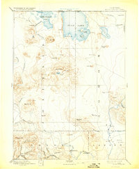
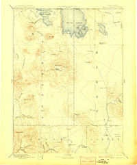
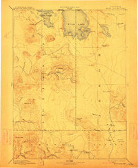
1892 Map of Modoc Lava Bed
USGS Topo · Published 1931About this map
Lava Bed volcanic formations dominate this 1880s-era reconnaissance, capturing a rugged expanse where water and geology define the limits of human settlement. The map documents the complex shoreline of Tule Lake and Lower Klamath Lake before massive irrigation projects fundamentally altered these basins. Notable historic sites such as the Modoc Rifle Pit provide a tangible link to the regional conflicts of the previous decade.
Find a feature on this map
67 named features on this map. Tap any name to fly to it.
Don’t see what you’re looking for? This feature index may not catch every label — zoom into the map to look around manually.
Map Details
Editions of this 1892 Modoc Lava Bed Map
7 editions found
Other maps of this area

1886 · Alturas
USGS Topo · 1:250,000

1886 · Honey Lake
USGS Topo · 1:250,000

1886 · Lassen Peak
USGS Topo · 1:250,000

1886 · Modoc Lava Bed
USGS Topo · 1:250,000

1886 · Shasta
USGS Topo · 1:250,000

1889 · Klamath
USGS Topo · 1:250,000

1890 · Red Bluff
USGS Topo · 1:250,000

1891 · Honey Lake
USGS Topo · 1:250,000

1891 · Ashland
USGS Topo · 1:250,000

1892 · Modoc Lava-Bed
USGS Topo · 1:250,000