
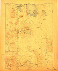
1892 Map of Modoc Lava-Bed
USGS Topo · Published 1892About this map
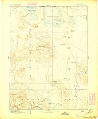
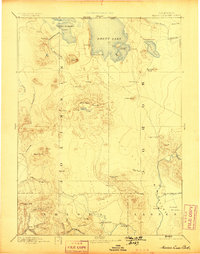
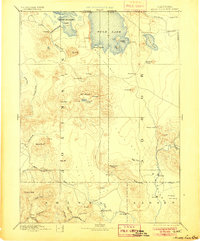
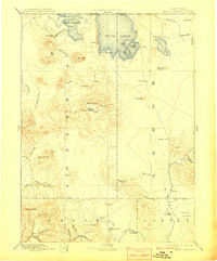
The volcanic landscape of Northeastern California dominates this late nineteenth-century survey, centered on the expansive Modoc Lava Bed. Topography is defined by cinder cones, craters, and high-altitude peaks such as Mt Hoffmann and Glass Mt. Notable features of the 1870s conflict remain on the landscape, including the Modoc Rifle Pit near the southern shore of Rhett Lake. Local water systems are crucial to the region's early footprint, with the Pit River and Fall River flowing near early settlements like Burgettville and Pittville. Natural anomalies like the Ice Cave and the Water Hole provide insight into the unique geology of the Siskiyou and Modoc county borders. To the west, the McCloud River and Bartles signal the edge of the timbered uplands, while the southern reaches show a Ferry crossing on the Pit River near Kosk.
Find a feature on this map
68 named features on this map. Tap any name to fly to it.
Don’t see what you’re looking for? This feature index may not catch every label — zoom into the map to look around manually.
Map Details
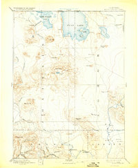
Editions of this 1892 Modoc Lava-Bed Map
7 editions found
Other maps of this area

1886 · Alturas
USGS Topo · 1:250,000

1886 · Honey Lake
USGS Topo · 1:250,000

1886 · Lassen Peak
USGS Topo · 1:250,000

1886 · Modoc Lava Bed
USGS Topo · 1:250,000

1886 · Shasta
USGS Topo · 1:250,000

1889 · Klamath
USGS Topo · 1:250,000

1890 · Red Bluff
USGS Topo · 1:250,000

1891 · Honey Lake
USGS Topo · 1:250,000

1891 · Ashland
USGS Topo · 1:250,000

1892 · Lassen Peak
USGS Topo · 1:250,000