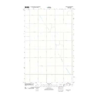
2011 Map of Mohall SW
USGS Topo · Published 2011About this map
Little Deep Creek meanders diagonally across this rural landscape in Renville County, providing the primary hydrological feature in an area otherwise defined by the strict geometry of the Public Land Survey System. The map reveals a high-precision grid of gravel and section roads, such as 100th St NW and 47th Ave NW, which delineate the agricultural parcels characteristic of North Dakota’s prairie country. This 2011 record reflects the enduring pattern of large-scale farming and sparse residential settlement, where the placement of farmsteads and access roads is dictated by the township and range lines. The transition of the creek bed against the rigid road network of 95th St NW and 44th Ave NW illustrates how modern engineering and historical land divisions continue to shape the regional topography.
Find a feature on this map
14 named features on this map. Tap any name to fly to it.
Don’t see what you’re looking for? This feature index may not catch every label — zoom into the map to look around manually.
Map Details
Editions of this 2011 Mohall SW Map
This is the sole edition of this map. No revisions or reprints were ever made.
Other maps of this area

1947 · Tolley
USGS Topo · 1:62,500

1948 · Mohall
USGS Topo · 1:24,000

1948 · Tolley
USGS Topo · 1:24,000

1949 · Mohall SW
USGS Topo · 1:24,000

1949 · Mohall NE
USGS Topo · 1:24,000

1949 · Sherwood
USGS Topo · 1:24,000

1949 · Greene
USGS Topo · 1:24,000

1949 · Grano NE
USGS Topo · 1:24,000

1949 · Mouse River Park NE
USGS Topo · 1:24,000

1949 · Mouse River Park
USGS Topo · 1:24,000