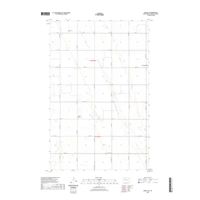
2020 Map of Mohall SW
USGS Topo · Published 2020About this map
Little Deep Creek meanders southeastward across this Renville County landscape, carving a gentle valley through a grid-defined agricultural region. The map preserves the locations of vital community anchors, specifically the Hamerly Lutheran Cem in the north and the Saint Johns United Lutheran Cem further south. These sites, often associated with early regional parishes, serve as significant markers for family historians and genealogists researching the area's heritage. The infrastructure is dominated by a systematic network of section-line roads, including Co Rd 4 and various avenues from 47th Ave NW to 42nd Ave NW, reflecting the late-era persistence of the Great Plains' rural layout.
Find a feature on this map
22 named features on this map. Tap any name to fly to it.
Don’t see what you’re looking for? This feature index may not catch every label — zoom into the map to look around manually.
Map Details
Editions of this 2020 Mohall SW Map
This is the sole edition of this map. No revisions or reprints were ever made.
Other maps of this area

1947 · Tolley
USGS Topo · 1:62,500

1948 · Mohall
USGS Topo · 1:24,000

1948 · Tolley
USGS Topo · 1:24,000

1949 · Mohall SW
USGS Topo · 1:24,000

1949 · Mohall NE
USGS Topo · 1:24,000

1949 · Sherwood
USGS Topo · 1:24,000

1949 · Greene
USGS Topo · 1:24,000

1949 · Grano NE
USGS Topo · 1:24,000

1949 · Mouse River Park NE
USGS Topo · 1:24,000

1949 · Mouse River Park
USGS Topo · 1:24,000