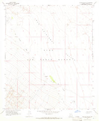
1965 Map of Mohawk Mts NE
USGS Topo · Published 1966About this map
The San Cristobal Valley dominates this 1960s desert landscape, a region defined by its reliance on isolated water sources and military utility. Located within the Luke Air Force Range, the area is punctuated by remote landmarks such as the Stoval Airfield in the northwest. Survival in this arid environment is marked by specific, named points such as Pimeria Well and the notably labeled Garcia Well 390 (Dry). The drainage patterns of the San Cristobal Wash and a network of Jeep Trails represent the only primary infrastructure through the valley. This mid-century survey captures the intersection of desert ranching history and modern military activity, evidenced by the scattered wells like Well 374 and Well 407 used to navigate or maintain the territory.
Find a feature on this map
9 named features on this map. Tap any name to fly to it.
Don’t see what you’re looking for? This feature index may not catch every label — zoom into the map to look around manually.
Map Details
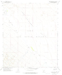
Editions of this 1965 Mohawk Mts NE Map
2 editions found
Other maps of this area

1927 · Aguila Mountains
USGS Topo · 1:48,000

1927 · Kim
USGS Topo · 1:62,500

1929 · Aztec
USGS Topo · 1:62,500

1930 · Aguila Mountains
USGS Topo · 1:62,500

1930 · Stoval
USGS Topo · 1:62,500

1931 · Kim
USGS Topo · 1:62,500

1950 · Stoval
USGS Topo · 1:62,500

1950 · Aztec
USGS Topo · 1:62,500

1953 · Ajo
USGS Topo · 1:250,000

1957 · Ajo
USGS Topo · 1:250,000