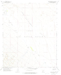
1965 Map of Mohawk Mts NE
USGS Topo · Published 1976About this map
San Cristobal Valley dominates this arid landscape, where the seasonal drainage of San Cristobal Wash cuts through the desert floor. The area is characterized by its isolation and its role in mid-century military training, with much of the territory designated as part of the Luke Air Force Range. Human presence is sparse, marked primarily by essential water sources such as Pimeria Well and the noted Garcia Well (Dry), reflecting the difficult conditions for any permanent habitation or transit.
Find a feature on this map
8 named features on this map. Tap any name to fly to it.
Don’t see what you’re looking for? This feature index may not catch every label — zoom into the map to look around manually.
Map Details
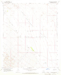
Editions of this 1965 Mohawk Mts NE Map
2 editions found
Other maps of this area

1927 · Aguila Mountains
USGS Topo · 1:48,000

1927 · Kim
USGS Topo · 1:62,500

1929 · Aztec
USGS Topo · 1:62,500

1930 · Aguila Mountains
USGS Topo · 1:62,500

1930 · Stoval
USGS Topo · 1:62,500

1931 · Kim
USGS Topo · 1:62,500

1950 · Stoval
USGS Topo · 1:62,500

1950 · Aztec
USGS Topo · 1:62,500

1953 · Ajo
USGS Topo · 1:250,000

1957 · Ajo
USGS Topo · 1:250,000