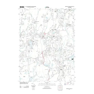
2013 Map of Mohegan Lake
USGS Topo · Published 2013About this map
Yorktown Heights and the surrounding Westchester County landscape are characterized by a dense network of suburban residential development integrated with agricultural remnants and recreational spaces. The map illustrates the prominence of specialized land use, including the Wilkens Fruit And Fir Farm and Stuart's Fruit Farm, which reflect the area's ongoing agricultural heritage. To the east, the Amawalk Reservoir and the Muscoot River dominate the drainage system, while numerous smaller water bodies like Mohansic Lake and Barger Pond dot the terrain between ridges like Flewellen Ridge and French Hill.
Find a feature on this map
67 named features on this map. Tap any name to fly to it.
Don’t see what you’re looking for? This feature index may not catch every label — zoom into the map to look around manually.
Map Details
Editions of this 2013 Mohegan Lake Map
This is the sole edition of this map. No revisions or reprints were ever made.
Other maps of this area

1892 · Stamford
USGS Topo · 1:62,500

1892 · West Point
USGS Topo · 1:62,500

1892 · Carmel
USGS Topo · 1:62,500

1892 · Tarrytown
USGS Topo · 1:62,500

1893 · Carmel
USGS Topo · 1:62,500

1893 · Stamford
USGS Topo · 1:62,500

1893 · Tarrytown
USGS Topo · 1:62,500

1894 · West Point
USGS Topo · 1:62,500

1894 · Carmel
USGS Topo · 1:62,500

1899 · Stamford
USGS Topo · 1:62,500