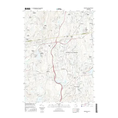
2016 Map of Mohegan Lake
USGS Topo · Published 2016About this map
Lake Mohegan and the surrounding suburban residential corridors of Jefferson Valley-Yorktown define this modern look at northern Westchester and southern Putnam counties. The landscape is characterized by its dense network of local roads and prominent thoroughfares, most notably the Taconic State Pkwy and US Rte 6, which facilitate the region's connection to the larger New York metropolitan area. These transit routes weave through a terrain of significant hills, including Turkey Mtn and Granite Mtn, alongside numerous controlled water bodies like the Amawalk Reservoir and the New Croton Reservoir. Local history is preserved in various small burial grounds such as King David Cem and Presbyterian Cem, which sit alongside established communities like Shrub Oak, Shenorock, and Yorktown Heights. The map illustrates the careful management of the watershed and the persistent presence of local institutional landmarks like the Baptist Church and several community-centered schools and cemeteries.
Find a feature on this map
69 named features on this map. Tap any name to fly to it.
Don’t see what you’re looking for? This feature index may not catch every label — zoom into the map to look around manually.
Map Details
Editions of this 2016 Mohegan Lake Map
This is the sole edition of this map. No revisions or reprints were ever made.
Other maps of this area

1892 · Stamford
USGS Topo · 1:62,500

1892 · West Point
USGS Topo · 1:62,500

1892 · Carmel
USGS Topo · 1:62,500

1892 · Tarrytown
USGS Topo · 1:62,500

1893 · Carmel
USGS Topo · 1:62,500

1893 · Stamford
USGS Topo · 1:62,500

1893 · Tarrytown
USGS Topo · 1:62,500

1894 · West Point
USGS Topo · 1:62,500

1894 · Carmel
USGS Topo · 1:62,500

1899 · Stamford
USGS Topo · 1:62,500