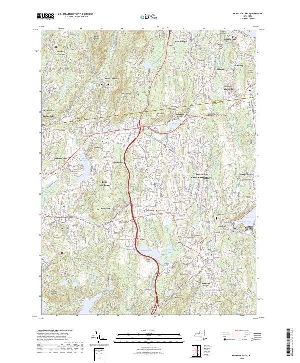
2023 Map of Mohegan Lake
USGS Topo · Published 2023About this map
Mohegan Lake and the surrounding Westchester uplands are defined by a complex network of reservoirs, lakes, and suburban hamlets. The landscape is punctuated by prominent elevations such as Turkey Mountain and French Hill, which overlook a dense concentration of historical burial grounds including Rose Hills Memorial Park and the Amawalk Hill Cem. This 2023 survey illustrates the modern layout of long-established communities like Yorktown Heights, Jefferson Valley, and Shrub Oak.
Find a feature on this map
341 named features on this map. Tap any name to fly to it.
Don’t see what you’re looking for? This feature index may not catch every label — zoom into the map to look around manually.
Map Details
Editions of this 2023 Mohegan Lake Map
This is the sole edition of this map. No revisions or reprints were ever made.
Other maps of this area

1892 · Stamford
USGS Topo · 1:62,500

1892 · West Point
USGS Topo · 1:62,500

1892 · Carmel
USGS Topo · 1:62,500

1892 · Tarrytown
USGS Topo · 1:62,500

1893 · Carmel
USGS Topo · 1:62,500

1893 · Stamford
USGS Topo · 1:62,500

1893 · Tarrytown
USGS Topo · 1:62,500

1894 · West Point
USGS Topo · 1:62,500

1894 · Carmel
USGS Topo · 1:62,500

1899 · Stamford
USGS Topo · 1:62,500