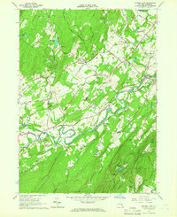
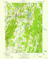
1964 Map of Mohonk Lake
USGS Topo · Published 1966About this map
The Shawangunk Mountains dominate the southeastern landscape of this mid-1960s survey, rising sharply above the Rondout Creek valley. This waterway serves as the central artery for a series of historic Ulster County settlements, including Accord, Alligerville, and High Falls. The map documents the persistent infrastructure of the New York Ontario and Western Railroad corridor and various industrial landmarks such as the Sandpits Aqueduct Siphon House. Local community life is well-preserved through the labeling of the Marbletown School, St Marys Convent, and Clove Chapel. The presence of the Accord Speedway and Camp Shangri La alongside the Accord Airport reflects the mid-century transition from a strictly agricultural and quarrying economy to one increasingly shaped by recreation and regional travel. Upland features like Mohonk Lake and Eagle Cliff provide a clear view of the area's distinct topography before late-century development intensified.
Find a feature on this map
61 named features on this map. Tap any name to fly to it.
Don’t see what you’re looking for? This feature index may not catch every label — zoom into the map to look around manually.
Map Details
Editions of this 1964 Mohonk Lake Map
3 editions found
Other maps of this area

1901 · Rosendale
USGS Topo · 1:62,500

1903 · Newburg
USGS Topo · 1:62,500

1903 · Rosendale
USGS Topo · 1:62,500

1903 · Slide Mountain
USGS Topo · 1:62,500

1904 · Ellenville
USGS Topo · 1:62,500

1905 · Slide Mountain
USGS Topo · 1:62,500

1906 · Ellenville
USGS Topo · 1:62,500
1942 · Kingston West
USGS Topo · 1:24,000
1942 · Rosendale
USGS Topo · 1:24,000

1942 · West Shokan
USGS Topo · 1:24,000