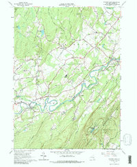
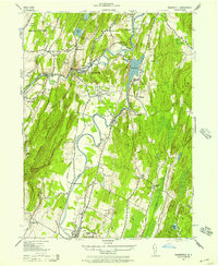
1964 Map of Mohonk Lake
USGS Topo · Published 1988About this map
Rondout Creek meanders through the central valley of this mid-century landscape, linking the historic hamlets of Accord, Alligerville, and High Falls. The map reveals a diversified rural economy where agriculture, recreation, and local industry intersect, featuring several quarries and sandpits alongside landmarks like Camp Shangri La and the St Marys Convent. Transportation and infrastructure are prominent, with the Accord Speedway and local airfields like Anderson Acres Airport serving the area, while the Aqueduct Siphon House marks the vital water system transit. To the southeast, the terrain rises sharply into the Shawangunk Mountains, where the elevation reaches Mohonk Lake and Eagle Cliff. This 1964 field-checked survey preserves the layout of Ulster County before significant modern suburbanization, documenting numerous family and community landmarks such as Fairview Cem and Clove Chapel.
Find a feature on this map
67 named features on this map. Tap any name to fly to it.
Don’t see what you’re looking for? This feature index may not catch every label — zoom into the map to look around manually.
Map Details
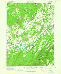
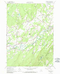
Editions of this 1964 Mohonk Lake Map
3 editions found
Other maps of this area

1901 · Rosendale
USGS Topo · 1:62,500

1903 · Newburg
USGS Topo · 1:62,500

1903 · Rosendale
USGS Topo · 1:62,500

1903 · Slide Mountain
USGS Topo · 1:62,500

1904 · Ellenville
USGS Topo · 1:62,500

1905 · Slide Mountain
USGS Topo · 1:62,500

1906 · Ellenville
USGS Topo · 1:62,500
1942 · Kingston West
USGS Topo · 1:24,000
1942 · Rosendale
USGS Topo · 1:24,000

1942 · West Shokan
USGS Topo · 1:24,000