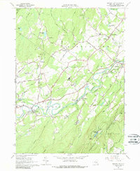
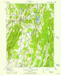
1964 Map of Mohonk Lake
USGS Topo · Published 1988About this map
Rondout Creek carves a winding path through the heart of this mid-century landscape, framing the agricultural and industrial character of central Ulster County. The map captures a moment when traditional hamlets like Stone Ridge, High Falls, and Accord remained distinct hubs, separated by extensive dairy lands and active mineral resource sites such as the Quarry and various Gravel Pits. The influence of early 20th-century infrastructure is evident in the Catskill Aqueduct and its Aqueduct Siphon House, cutting across the northern half of the sheet.
Find a feature on this map
59 named features on this map. Tap any name to fly to it.
Don’t see what you’re looking for? This feature index may not catch every label — zoom into the map to look around manually.
Map Details
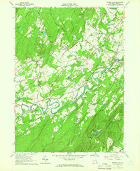
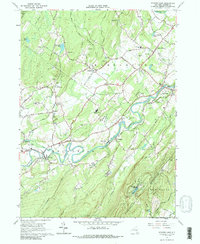
Editions of this 1964 Mohonk Lake Map
3 editions found
Other maps of this area

1901 · Rosendale
USGS Topo · 1:62,500

1903 · Newburg
USGS Topo · 1:62,500

1903 · Rosendale
USGS Topo · 1:62,500

1903 · Slide Mountain
USGS Topo · 1:62,500

1904 · Ellenville
USGS Topo · 1:62,500

1905 · Slide Mountain
USGS Topo · 1:62,500

1906 · Ellenville
USGS Topo · 1:62,500
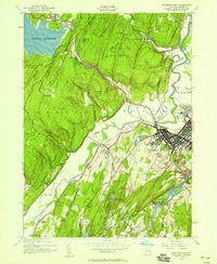
1942 · Kingston West
USGS Topo · 1:24,000
1942 · Rosendale
USGS Topo · 1:24,000

1942 · West Shokan
USGS Topo · 1:24,000