2022 Map of Mojave
USGS Topo · Published 2022About this map
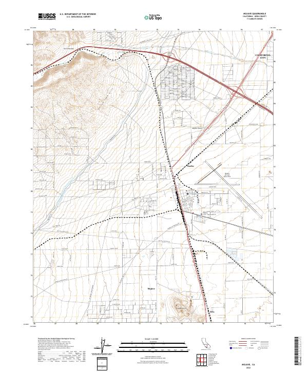
The high desert landscape around Mojave serves as a critical junction for infrastructure and aviation in Kern County. The map details the transition from the southern extent of the Sierra Nevada into the Horned Toad Hills and the open flats of the Mojave Desert. Water management is central to the area's development, evidenced by the parallel paths of the Los Angeles Aqueduct and the Second Los Angeles Aqueduct cutting across the terrain. These engineering feats run alongside the long-established Southern Pacific RR lines that historically anchored the region's economy.
Find a feature on this map
136 named features on this map. Tap any name to fly to it.
Don’t see what you’re looking for? This feature index may not catch every label — zoom into the map to look around manually.
Map Details
Editions of this 2022 Mojave Map
This is the sole edition of this map. No revisions or reprints were ever made.
Other maps of this area

1915 · Elizabeth Lake
USGS Topo · 1:125,000

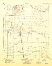
1915 · Mojave
USGS Topo · 1:125,000

1917 · Elizabeth Lake
USGS Topo · 1:125,000
1943 · Rosamond
USGS Topo · 1:62,500

1943 · Tehachapi
USGS Topo · 1:62,500
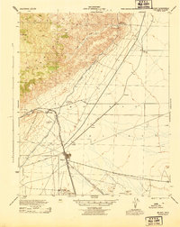
1943 · Mojave
USGS Topo · 1:62,500
1943 · Willow Springs
USGS Topo · 1:62,500
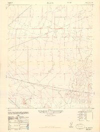
1947 · Plano
USGS Topo · 1:24,000
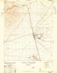
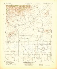
1947 · Mojave
USGS Topo · 1:24,000
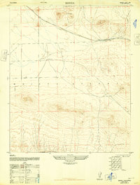
1947 · Bissell
USGS Topo · 1:24,000