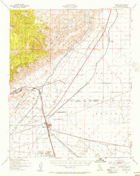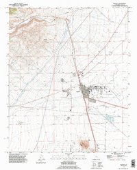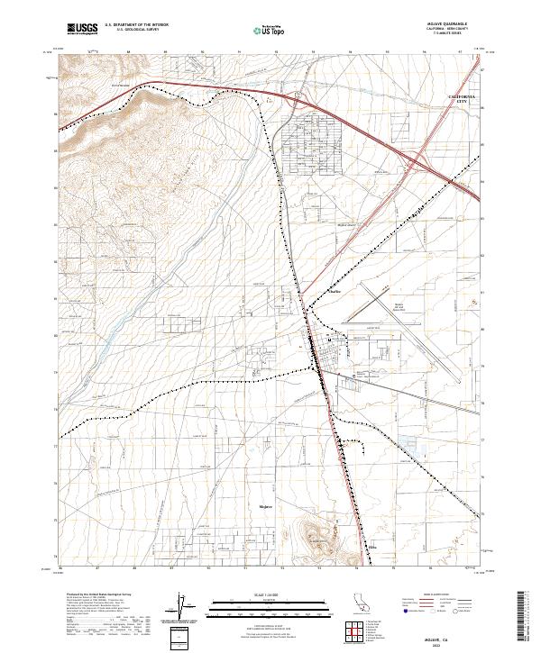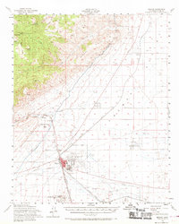
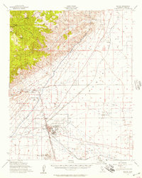
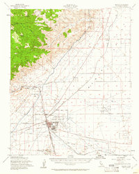
1956 Map of Mojave
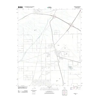
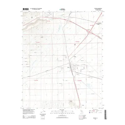
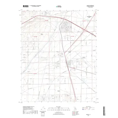
USGS Topo · Published 1969About this map
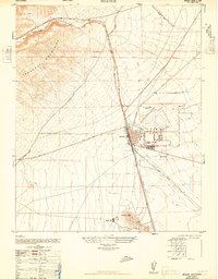
Mojave stands as a vital high-desert crossroads during the mid-1950s, defined by its strategic intersection of the Southern Pacific Railroad and the Atchison Topeka and Santa Fe Railroad. The landscape reflects a transition from the industrial infrastructure of the Los Angeles Aqueduct and various Gravel Pits to the military presence at the Marine Corps Auxiliary Air Station and nearby Naval Reservation. To the north and west, the terrain rises sharply into the Tehachapi Mountains, where landmarks like Cache Peak and Middle Knob overlook high-altitude sites such as Airplane Flat. The map documents the localized development of the era, from the central High Sch in town to outlying clusters like Reefer City and Sanborn, providing a clear view of the region's mid-century aviation and rail-based economy.
Find a feature on this map
42 named features on this map. Tap any name to fly to it.
Don’t see what you’re looking for? This feature index may not catch every label — zoom into the map to look around manually.
Map Details
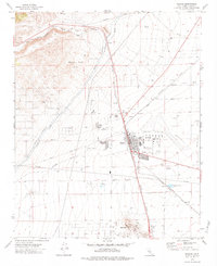
Editions of this 1956 Mojave Map
3 editions found
Historical Maps of California City Through Time
10 maps found