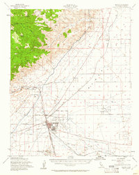
1956 Map of Mojave
USGS Topo · Published 1961About this map
Mojave stands at a strategic junction in the high desert, where the Southern Pacific and Atchison Topeka and Santa Fe railroads converge near the base of the Tehachapi Mountains. By the mid-1950s, the area had developed into a significant military and infrastructure hub, anchored by the Marine Corps Auxiliary Air Station and the neighboring Myer Field. The landscape is defined by the massive engineering of the Los Angeles Aqueduct, which winds past Aqueduct Station as it skirts the Barren Ridge. Small settlements and railroad sidings like Chaffee, Warren, and Reefer City dot the surrounding flats, while the Naval Reservation occupies the eastern territory. This survey captures a specific era of California desert history where aviation, rail logistics, and water transport intersected to support the region's rapid growth.
Find a feature on this map
39 named features on this map. Tap any name to fly to it.
Don’t see what you’re looking for? This feature index may not catch every label — zoom into the map to look around manually.
Map Details
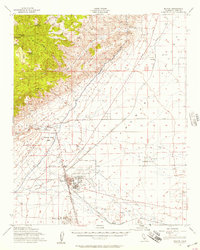
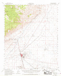
Editions of this 1956 Mojave Map
3 editions found
Other maps of this area

1915 · Elizabeth Lake
USGS Topo · 1:125,000

1915 · Searles Lake
USGS Topo · 1:250,000

1915 · Mojave
USGS Topo · 1:125,000

1917 · Elizabeth Lake
USGS Topo · 1:125,000

1937 · Rogers Lake
USGS Topo · 1:48,000

1942 · Rogers Lake
USGS Topo · 1:62,500

1943 · Rosamond
USGS Topo · 1:62,500

1943 · Tehachapi
USGS Topo · 1:62,500

1943 · Cross Mountain
USGS Topo · 1:62,500

1943 · Emerald Mtn
USGS Topo · 1:62,500