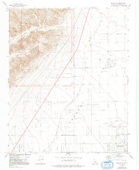
1973 Map of Mojave NE
USGS Topo · Published 1992About this map
California City emerges as a planned desert community in this early 1970s survey, defined by its ambitious street grid and California City Corporate Boundary. The map illustrates the town's early infrastructure, including the California City Airport and a network of arterial roads named for aviation and local figures, such as Lindbergh Blvd and Mendiburu Rd. To the west, the arid landscape shifts toward the rising slopes of Barren Ridge, where Tree Canyon and various Prospects suggest a history of resource exploration.
Find a feature on this map
22 named features on this map. Tap any name to fly to it.
Don’t see what you’re looking for? This feature index may not catch every label — zoom into the map to look around manually.
Map Details
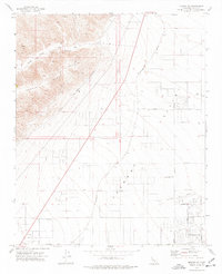
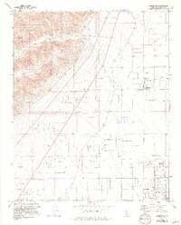
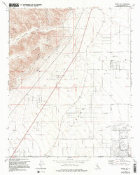
Editions of this 1973 Mojave NE Map
4 editions found
Other maps of this area

1915 · Searles Lake
USGS Topo · 1:250,000

1915 · Mojave
USGS Topo · 1:125,000

1943 · Cross Mountain
USGS Topo · 1:62,500

1943 · Saltdale
USGS Topo · 1:62,500

1943 · Castle Butte
USGS Topo · 1:62,500

1943 · Mojave
USGS Topo · 1:62,500

1947 · Castle Butte
USGS Topo · 1:50,000

1947 · Plano
USGS Topo · 1:24,000

1947 · Mojave
USGS Topo · 1:24,000

1947 · Desert Butte
USGS Topo · 1:24,000