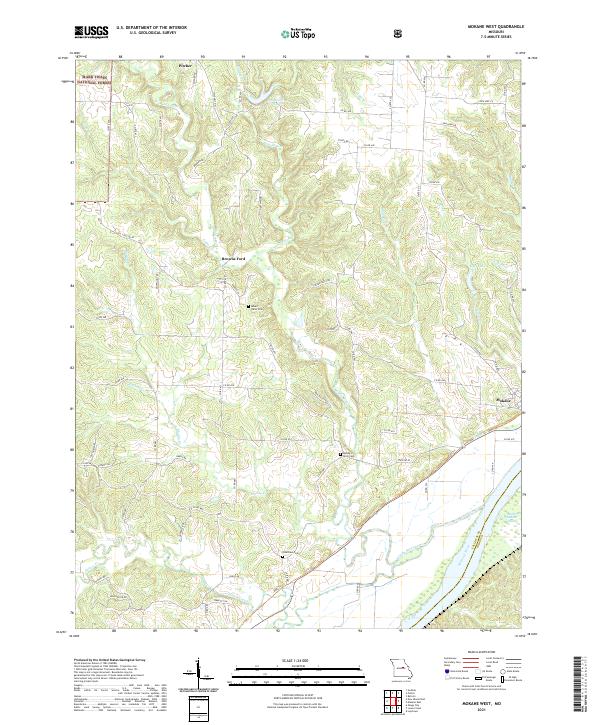
2021 Map of Mokane West
USGS Topo · Published 2021About this map
Middle River meanders through the central terrain of this Callaway County region, serving as a geographic anchor for several local landmarks. The landscape is dotted with small rural settlements and points of interest such as Mokane, Browns Ford, and Pitcher. Near the river's path, several burial grounds including Mount Tabor Cem, Middle River Cem, and Riverview Cem provide significant touchpoints for genealogical research. The southern boundary is defined by the Missouri River, where the Saint Aubert Chute and the Big Muddy National Fish and Wildlife Refuge mark a distinct riparian environment.
Find a feature on this map
76 named features on this map. Tap any name to fly to it.
Don’t see what you’re looking for? This feature index may not catch every label — zoom into the map to look around manually.
Map Details
Editions of this 2021 Mokane West Map
This is the sole edition of this map. No revisions or reprints were ever made.
Other maps of this area

1886 · Jefferson City
USGS Topo · 1:125,000

1890 · Fulton
USGS Topo · 1:125,000

1894 · Jefferson City
USGS Topo · 1:125,000

1928 · Fulton
USGS Topo · 1:62,500

1931 · Fulton
USGS Topo · 1:62,500

1939 · Jefferson City
USGS Topo · 1:62,500

1942 · Jefferson City
USGS Topo · 1:62,500

1944 · Millersburg
USGS Topo · 1:62,500

1945 · Mokane
USGS Topo · 1:62,500

1946 · Millersburg
USGS Topo · 1:62,500