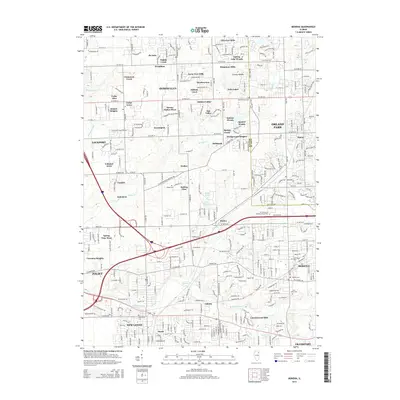
2015 Map of Mokena
USGS Topo · Published 2015About this map
Homer Glen and Orland Park anchor this detailed study of the suburban landscape along the Will Co Cook Co boundary. The map documents an area defined by its residential subdivisions and intersecting local drainages, where named neighborhoods like Cinnamon Creek and Kingstone Hills sit adjacent to established community sites. The presence of numerous burial grounds, including Pioneer Cem and Brooks Cem, offers a valuable resource for genealogists tracing local families across different eras of development.
Find a feature on this map
97 named features on this map. Tap any name to fly to it.
Don’t see what you’re looking for? This feature index may not catch every label — zoom into the map to look around manually.
Map Details
Editions of this 2015 Mokena Map
This is the sole edition of this map. No revisions or reprints were ever made.
Other maps of this area

1890 · Des Plaines
USGS Topo · 1:62,500

1892 · Joliet
USGS Topo · 1:62,500

1892 · Wilmington
USGS Topo · 1:62,500

1894 · Des Plaines
USGS Topo · 1:62,500

1900 · Des Plaines
USGS Topo · 1:62,500

1901 · Des Plaines
USGS Topo · 1:62,500

1918 · Wilmington
USGS Topo · 1:62,500

1923 · Joliet
USGS Topo · 1:62,500

1928 · Palos Park
USGS Topo · 1:24,000

1928 · Sag Bridge
USGS Topo · 1:24,000