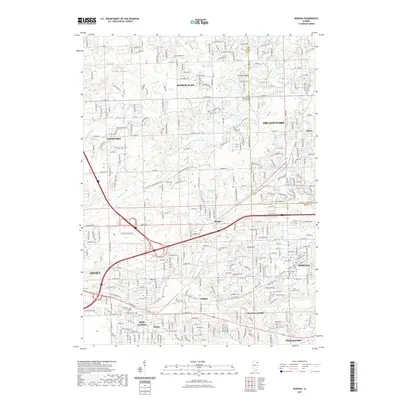
2021 Map of Mokena
USGS Topo · Published 2021About this map
Hickory Creek and Spring Creek flow through this section of Will County, where suburban development meets a complex network of established cemeteries and rural crossroads. The area around Mokena and New Lenox is detailed with local landmarks such as Pioneer Cemetery and Saint Marys Cemetery, providing a clear view of the region's burial grounds and community nodes. Northward, the landscape transitions toward Homer Glen and Orland Park, crossing the Will and Cook County boundary. Smaller settlements and historic locations like Marley, Gilletts, and Steele are visible alongside water features such as Rip Slough and Marley Creek, which define the local drainage patterns. The map also records several family-named roads and rural estates, including Brooks Cemetery and Hadley Cemetery, which are essential for tracing local genealogy and land use in this rapidly changing Illinois corridor.
Find a feature on this map
143 named features on this map. Tap any name to fly to it.
Don’t see what you’re looking for? This feature index may not catch every label — zoom into the map to look around manually.
Map Details
Editions of this 2021 Mokena Map
This is the sole edition of this map. No revisions or reprints were ever made.
Other maps of this area

1890 · Des Plaines
USGS Topo · 1:62,500

1892 · Joliet
USGS Topo · 1:62,500

1892 · Wilmington
USGS Topo · 1:62,500

1894 · Des Plaines
USGS Topo · 1:62,500

1900 · Des Plaines
USGS Topo · 1:62,500

1901 · Des Plaines
USGS Topo · 1:62,500

1918 · Wilmington
USGS Topo · 1:62,500

1923 · Joliet
USGS Topo · 1:62,500

1928 · Palos Park
USGS Topo · 1:24,000

1928 · Sag Bridge
USGS Topo · 1:24,000