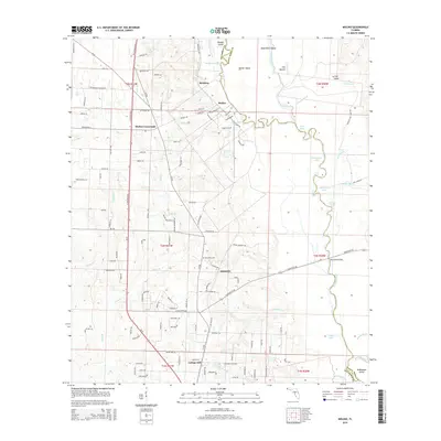
2015 Map of Molino
USGS Topo · Published 2015About this map
The Escambia River defines the eastern boundary of this region, separating Escambia and Santa Rosa counties through a complex network of wetlands and riverine features. Settlements such as Molino, Quintette, and Brickton are situated on the higher ground west of the river, connected by local routes like Molino Rd and E Quintette Rd. The landscape is a mosaic of small creek drainages, including Jacks Br and Cowdevil Cr, which feed into the main river system.
Find a feature on this map
89 named features on this map. Tap any name to fly to it.
Don’t see what you’re looking for? This feature index may not catch every label — zoom into the map to look around manually.
Map Details
Editions of this 2015 Molino Map
This is the sole edition of this map. No revisions or reprints were ever made.
Other maps of this area

1920 · Milton
USGS Topo · 1:62,500

1921 · Muscogee
USGS Topo · 1:62,500

1941 · Muscogee
USGS Topo · 1:62,500

1941 · Milton
USGS Topo · 1:62,500

1941 · Century
USGS Topo · 1:62,500

1943 · Muscogee
USGS Topo · 1:62,500

1943 · Century
USGS Topo · 1:62,500

1943 · Milton
USGS Topo · 1:62,500

1943 · Jay
USGS Topo · 1:62,500
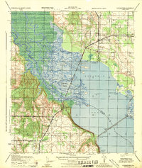
1944 · Floridatown
USGS Topo · 1:25,000