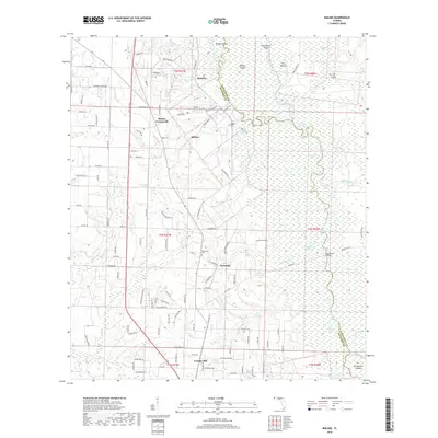
2018 Map of Molino
USGS Topo · Published 2018About this map
Molino and the surrounding woodlands of northern Escambia County are defined by the winding course of the Escambia River, which creates a complex network of wetlands and islands along the eastern border. This landscape includes large riverine features like Parker Island and Brosnaham Island, as well as numerous oxbows such as Halfmoon Lake and Quintette Lake. The settlement pattern follows the higher ground west of the river bottomlands, with communities such as Cottage Hill and Quintette linked by a grid of county roads.
Find a feature on this map
126 named features on this map. Tap any name to fly to it.
Don’t see what you’re looking for? This feature index may not catch every label — zoom into the map to look around manually.
Map Details
Editions of this 2018 Molino Map
This is the sole edition of this map. No revisions or reprints were ever made.
Other maps of this area

1920 · Milton
USGS Topo · 1:62,500

1921 · Muscogee
USGS Topo · 1:62,500

1941 · Muscogee
USGS Topo · 1:62,500

1941 · Milton
USGS Topo · 1:62,500

1941 · Century
USGS Topo · 1:62,500

1943 · Muscogee
USGS Topo · 1:62,500

1943 · Century
USGS Topo · 1:62,500

1943 · Milton
USGS Topo · 1:62,500

1943 · Jay
USGS Topo · 1:62,500
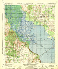
1944 · Floridatown
USGS Topo · 1:25,000