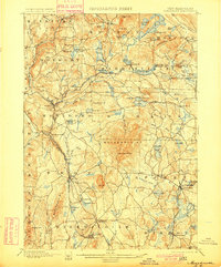
1898 Map of Monadnock
USGS Topo · Published 1900About this map
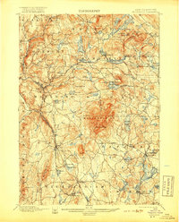
Monadnock Mt. dominates the center of this late nineteenth-century survey, a landmark surrounded by a network of upland villages and active rail lines. The landscape is defined by its many bodies of water, from Nubanusit Lake and Silver Lake to smaller, high-altitude catchments like Meetinghouse Pond and Stone Pond. The era's transportation infrastructure is clearly visible, with the Fitchburg R. R. and the Boston and Maine providing vital links to the outside world through hubs like Marlboro Depot and Fitzwilliam Depot.
Find a feature on this map
108 named features on this map. Tap any name to fly to it.
Don’t see what you’re looking for? This feature index may not catch every label — zoom into the map to look around manually.
Map Details
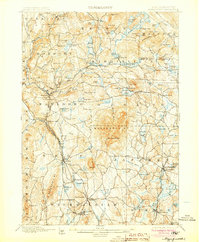
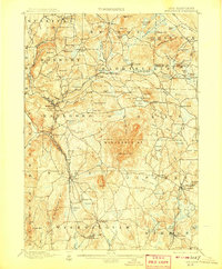
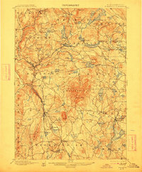
Editions of this 1898 Monadnock Map
8 editions found
Other maps of this area

1887 · Warwick
USGS Topo · 1:62,500

1887 · Winchendon
USGS Topo · 1:62,500

1887 · Fitchburg
USGS Topo · 1:62,500

1889 · Fitchburg
USGS Topo · 1:62,500

1889 · Warwick
USGS Topo · 1:62,500

1890 · Winchendon
USGS Topo · 1:62,500

1893 · Fitchburg
USGS Topo · 1:62,500

1894 · Winchendon
USGS Topo · 1:62,500

1894 · Warwick
USGS Topo · 1:62,500

1898 · Monadnock
USGS Topo · 1:62,500