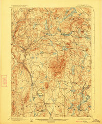
1898 Map of Monadnock
USGS Topo · Published 1924About this map
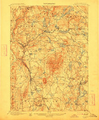
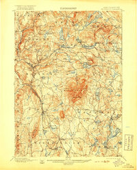
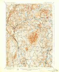
Monadnock Mt dominates the central topography of this late 19th-century survey, surrounded by a network of New England mill villages and rail-dependent settlements. The landscape is defined by its numerous glacial water bodies, from the sprawling Nubanusit Lake in the northeast to Dublin Pond and Silver Lake. The industrial and transit patterns of the era are clearly visible in the presence of Marlboro Depot and Fitzwilliam Depot, which served as critical connections to the Boston and Maine RR and the Cheshire Br. The map also captures several distinct peaks such as Skatutakee Mt and Gap Mt, alongside the isolated Mountain House located high on the slopes of the primary summit. The density of named brooks and ponds, such as Minnewawa Brook and Spoonwood Pond, illustrates the complex watershed that powered the region's early growth and defined the boundaries between towns like Harrisville, Dublin, and Jaffrey.
Find a feature on this map
108 named features on this map. Tap any name to fly to it.
Don’t see what you’re looking for? This feature index may not catch every label — zoom into the map to look around manually.
Map Details
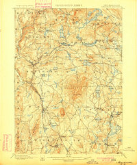
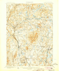
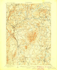
Editions of this 1898 Monadnock Map
8 editions found
Other maps of this area

1887 · Warwick
USGS Topo · 1:62,500

1887 · Winchendon
USGS Topo · 1:62,500

1887 · Fitchburg
USGS Topo · 1:62,500

1889 · Fitchburg
USGS Topo · 1:62,500

1889 · Warwick
USGS Topo · 1:62,500

1890 · Winchendon
USGS Topo · 1:62,500

1893 · Fitchburg
USGS Topo · 1:62,500

1894 · Winchendon
USGS Topo · 1:62,500

1894 · Warwick
USGS Topo · 1:62,500

1898 · Monadnock
USGS Topo · 1:62,500