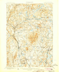
1898 Map of Monadnock
USGS Topo · Published 1905About this map
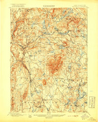
Monadnock Mt. dominates this southwestern New Hampshire landscape, serving as a towering focal point for the surrounding towns of Dublin, Jaffrey, and Marlboro. Near the summit, the presence of the Mountain House indicates the era's growing mountain tourism. The terrain is defined by its glacial heritage, dotted with numerous water bodies like Nubanusit Lake, Harrisville Pond, and Spoonwood Pond, which fueled local industry in settlements like Harrisville.
Find a feature on this map
110 named features on this map. Tap any name to fly to it.
Don’t see what you’re looking for? This feature index may not catch every label — zoom into the map to look around manually.
Map Details
Editions of this 1898 Monadnock Map
8 editions found
Other maps of this area

1887 · Warwick
USGS Topo · 1:62,500

1887 · Winchendon
USGS Topo · 1:62,500

1887 · Fitchburg
USGS Topo · 1:62,500

1889 · Fitchburg
USGS Topo · 1:62,500

1889 · Warwick
USGS Topo · 1:62,500

1890 · Winchendon
USGS Topo · 1:62,500

1893 · Fitchburg
USGS Topo · 1:62,500

1894 · Winchendon
USGS Topo · 1:62,500

1894 · Warwick
USGS Topo · 1:62,500

1898 · Monadnock
USGS Topo · 1:62,500