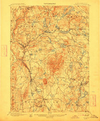
1898 Map of Monadnock
USGS Topo · Published 1912About this map
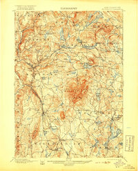
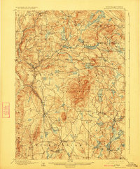
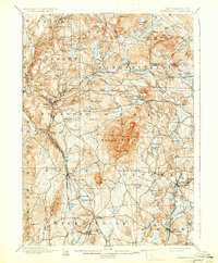
Monadnock Mt dominates the topography of this Cheshire County landscape, serving as the central hub around which several New Hampshire townships were established. At the end of the nineteenth century, the region's economy relied heavily on the intersection of natural water power and expanding rail lines. Industrial and transport centers such as Harrisville, East Jaffrey, and Fitzwilliam Depot are shown at their peak of development, with the Fitchburg RR and Boston and Maine RR cutting through the valleys to connect these upland villages to larger markets. Near the summit of the mountain, the Mountain House represents an era when this peak became a major destination for early tourism. The map also captures numerous family-named landmarks and water bodies like Spoonwood Pond and Meetinghouse Pond, providing a clear look at the rural settlement patterns before the twentieth century changed the local character.
Find a feature on this map
113 named features on this map. Tap any name to fly to it.
Don’t see what you’re looking for? This feature index may not catch every label — zoom into the map to look around manually.
Map Details
Editions of this 1898 Monadnock Map
8 editions found
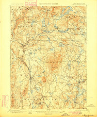
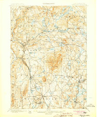
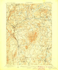
Other maps of this area

1887 · Warwick
USGS Topo · 1:62,500

1887 · Winchendon
USGS Topo · 1:62,500

1887 · Fitchburg
USGS Topo · 1:62,500

1889 · Fitchburg
USGS Topo · 1:62,500

1889 · Warwick
USGS Topo · 1:62,500

1890 · Winchendon
USGS Topo · 1:62,500

1893 · Fitchburg
USGS Topo · 1:62,500

1894 · Winchendon
USGS Topo · 1:62,500

1894 · Warwick
USGS Topo · 1:62,500

1898 · Monadnock
USGS Topo · 1:62,500