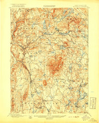
1898 Map of Monadnock
USGS Topo · Published 1918About this map
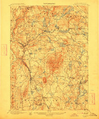
Monadnock Mt dominates this late-19th-century New Hampshire landscape, featuring the notable Mountain House on its slopes before the region fully transitioned from a rural agricultural economy to a summer destination. The map details a dense network of upland settlements and water bodies, including Silver Lake and Nubanusit Lake, which supported early mills and small-scale industry. The transportation infrastructure of the era is clearly defined by the Boston and Maine RR and the Fitchburg RR, with crucial rail links at Marlboro Depot and Fitzwilliam Depot that connected these mountain towns to broader markets.
Find a feature on this map
97 named features on this map. Tap any name to fly to it.
Don’t see what you’re looking for? This feature index may not catch every label — zoom into the map to look around manually.
Map Details
Editions of this 1898 Monadnock Map
8 editions found
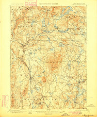
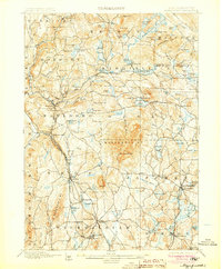
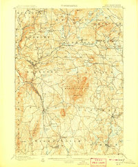
Other maps of this area

1887 · Warwick
USGS Topo · 1:62,500

1887 · Winchendon
USGS Topo · 1:62,500

1887 · Fitchburg
USGS Topo · 1:62,500

1889 · Fitchburg
USGS Topo · 1:62,500

1889 · Warwick
USGS Topo · 1:62,500

1890 · Winchendon
USGS Topo · 1:62,500

1893 · Fitchburg
USGS Topo · 1:62,500

1894 · Winchendon
USGS Topo · 1:62,500

1894 · Warwick
USGS Topo · 1:62,500

1898 · Monadnock
USGS Topo · 1:62,500