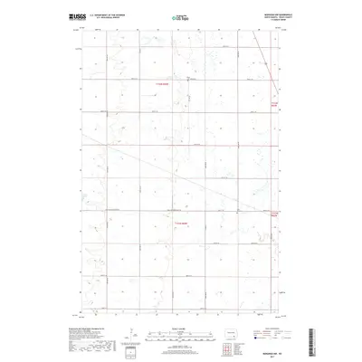
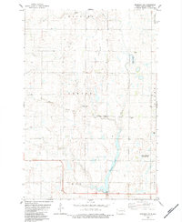
2017 Map of Monango NW
USGS Topo · Published 2017About this map
Glacial potholes and prairie wetlands define this corner of Dickey County, where a grid of section roads structures the agricultural landscape. Two significant local landmarks for genealogical research are visible here: Peace Cem in the north and Saint Pauls Cem situated along the eastern boundary. The terrain is marked by subtle shifts in elevation that collect water into numerous unnamed ponds and sloughs, with Wilson Dam appearing as a notable exception of water management in the western portion of the quadrangle.
Find a feature on this map
25 named features on this map. Tap any name to fly to it.
Don’t see what you’re looking for? This feature index may not catch every label — zoom into the map to look around manually.
Map Details
Editions of this 2017 Monango NW Map
This is the sole edition of this map. No revisions or reprints were ever made.
Other maps of this area

1894 · Monango
USGS Topo · 1:62,500

1896 · Edgeley
USGS Topo · 1:125,000

1925 · Edgeley
USGS Topo · 1:125,000

1953 · Jamestown
USGS Topo · 1:250,000

1956 · Jamestown
USGS Topo · 1:250,000
1956 · Ellendale North
USGS Topo · 1:24,000
1971 · Merricourt SE
USGS Topo · 1:24,000

1971 · Merricourt
USGS Topo · 1:24,000
1982 · Monango NW
USGS Topo · 1:24,000
1982 · Monango SW
USGS Topo · 1:24,000