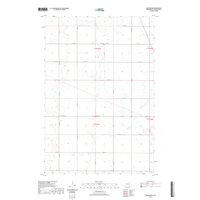
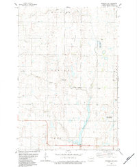
2020 Map of Monango NW
USGS Topo · Published 2020About this map
S Fork Maple River meanders through the southern half of this Dickey County landscape, providing a natural break in the precise grid of the Public Land Survey System. The area is defined by its agricultural layout, with section lines marked by a network of gravel and local roads such as 81st Ave SE and 86th St SE. Two local burial grounds, Peace Cem and Saint Pauls Cem, serve as primary landmarks for genealogical researchers tracing families in this part of North Dakota. The transport network centers on the Monango-Merricourt Rd and Co Hwy 4, which facilitate movement between the small rural townships. The map effectively documents the modern rural infrastructure and the preservation of historic community sites within a landscape dominated by prairie potholes and wetlands.
Find a feature on this map
25 named features on this map. Tap any name to fly to it.
Don’t see what you’re looking for? This feature index may not catch every label — zoom into the map to look around manually.
Map Details
Editions of this 2020 Monango NW Map
This is the sole edition of this map. No revisions or reprints were ever made.
Other maps of this area

1894 · Monango
USGS Topo · 1:62,500

1896 · Edgeley
USGS Topo · 1:125,000

1925 · Edgeley
USGS Topo · 1:125,000

1953 · Jamestown
USGS Topo · 1:250,000

1956 · Jamestown
USGS Topo · 1:250,000
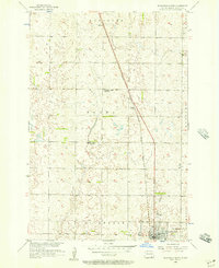
1956 · Ellendale North
USGS Topo · 1:24,000
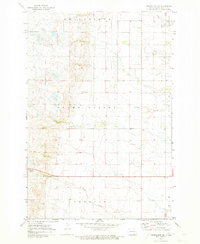
1971 · Merricourt SE
USGS Topo · 1:24,000

1971 · Merricourt
USGS Topo · 1:24,000
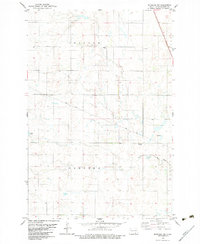
1982 · Monango NW
USGS Topo · 1:24,000
1982 · Monango SW
USGS Topo · 1:24,000