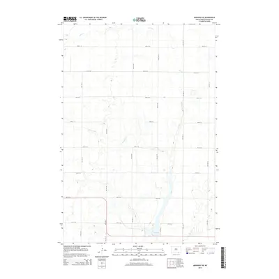
2014 Map of Monango SW
USGS Topo · Published 2014About this map
Pheasant Lake anchors the southern landscape of this Dickey County section, where the Elm River meanders through a grid of rural section roads. The terrain is defined by low-lying drainages like Bristol Gulch, which cuts across the central townships between north-south corridors such as 80th Ave SE and 83rd Ave SE.
Find a feature on this map
18 named features on this map. Tap any name to fly to it.
Don’t see what you’re looking for? This feature index may not catch every label — zoom into the map to look around manually.
Map Details
Editions of this 2014 Monango SW Map
This is the sole edition of this map. No revisions or reprints were ever made.
Other maps of this area

1894 · Monango
USGS Topo · 1:62,500

1894 · Ellendale
USGS Topo · 1:62,500

1896 · Edgeley
USGS Topo · 1:125,000

1899 · Ellendale
USGS Topo · 1:125,000

1925 · Edgeley
USGS Topo · 1:125,000

1953 · Jamestown
USGS Topo · 1:250,000

1953 · Ellendale South
USGS Topo · 1:24,000

1954 · Aberdeen
USGS Topo · 1:250,000

1956 · Aberdeen
USGS Topo · 1:250,000

1956 · Jamestown
USGS Topo · 1:250,000
Featured Places
- Hamburg Township, ND
- Keystone Township, ND
- Elden Township, ND
- Albion Township, ND
- Ellendale Township, ND