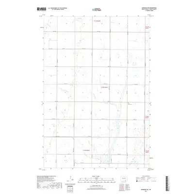
2017 Map of Monango SW
USGS Topo · Published 2017About this map
Elm River meanders south through this Dickey County landscape, shaping a terrain defined by subtle drainage patterns like Bristol Gulch. The map reveals a highly structured grid of section lines and rural roads, such as 90th St SE and 97th St SE, which delineate the agricultural reaches of South Dakota’s northern neighbor. Toward the southern end of the quadrangle, Pheasant Lake provides a notable water feature amidst the prairie. A key site for genealogists and local historians is the Christ Lutheran Cem, which stands as a quiet marker of the community's spiritual and social history. The sparse distribution of named features reflects the open, agrarian character of this region during the early 21st century, where land use remains closely tied to the original Public Land Survey System township boundaries.
Find a feature on this map
21 named features on this map. Tap any name to fly to it.
Don’t see what you’re looking for? This feature index may not catch every label — zoom into the map to look around manually.
Map Details
Editions of this 2017 Monango SW Map
This is the sole edition of this map. No revisions or reprints were ever made.
Other maps of this area

1894 · Monango
USGS Topo · 1:62,500

1894 · Ellendale
USGS Topo · 1:62,500

1896 · Edgeley
USGS Topo · 1:125,000

1899 · Ellendale
USGS Topo · 1:125,000

1925 · Edgeley
USGS Topo · 1:125,000

1953 · Jamestown
USGS Topo · 1:250,000

1953 · Ellendale South
USGS Topo · 1:24,000

1954 · Aberdeen
USGS Topo · 1:250,000

1956 · Aberdeen
USGS Topo · 1:250,000

1956 · Jamestown
USGS Topo · 1:250,000
Featured Places
- Hamburg Township, ND
- Keystone Township, ND
- Elden Township, ND
- Albion Township, ND
- Ellendale Township, ND