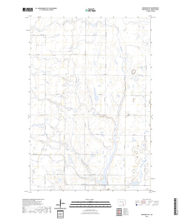
2024 Map of Monango SW
USGS Topo · Published 2024About this map
Elm River meanders across this rural Dickey County landscape, shaping a terrain defined by glacial depressions and intermittent water bodies. The agricultural character of the region is punctuated by the Dickey County Waterfowl Production Area, which preserves critical wetland habitats across several sections of the survey. Cultural and genealogical interest centers on the intersection of 94th St SE and 83rd Ave SE, where the Christ Lutheran church and its adjacent Cem represent the enduring local community center. The map reveals a strictly organized section-line road grid, including routes like 90th St SE and 79th Ave SE, which provides access to the dispersed farmsteads and the rugged drainage of Bristol Gulch in the central portion of the quadrangle.
Find a feature on this map
27 named features on this map. Tap any name to fly to it.
Don’t see what you’re looking for? This feature index may not catch every label — zoom into the map to look around manually.
Map Details
Editions of this 2024 Monango SW Map
This is the sole edition of this map. No revisions or reprints were ever made.
Other maps of this area

1894 · Monango
USGS Topo · 1:62,500

1894 · Ellendale
USGS Topo · 1:62,500

1896 · Edgeley
USGS Topo · 1:125,000

1899 · Ellendale
USGS Topo · 1:125,000

1925 · Edgeley
USGS Topo · 1:125,000

1953 · Jamestown
USGS Topo · 1:250,000

1953 · Ellendale South
USGS Topo · 1:24,000

1954 · Aberdeen
USGS Topo · 1:250,000

1956 · Aberdeen
USGS Topo · 1:250,000

1956 · Jamestown
USGS Topo · 1:250,000
Featured Places
- Albion Township, ND
- Elden Township, ND
- Hamburg Township, ND
- Keystone Township, ND
- Ellendale Township, ND