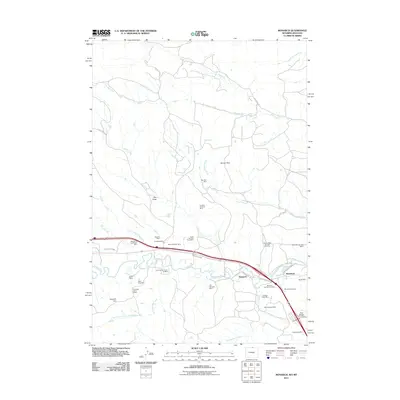
2011 Map of Monarch
USGS Topo · Published 2011About this map
The Tongue River corridor north of Sheridan reveals an intensive history of industrial extraction, marked by a high density of coal mines and quarries. This northern Wyoming landscape is anchored by the settlements of Monarch and Kleenburn, where the winding river is accompanied by the Tongue River Ditch and numerous mining operations. The sheer volume of named mines, such as the Old Monarch Mine, New Monarch Mine, and the Kleenburn Coal Tipple Mine, indicates a region deeply shaped by the energy needs of the early 21st century and the decades preceding it.
Find a feature on this map
46 named features on this map. Tap any name to fly to it.
Don’t see what you’re looking for? This feature index may not catch every label — zoom into the map to look around manually.
Map Details
Editions of this 2011 Monarch Map
This is the sole edition of this map. No revisions or reprints were ever made.
Other maps of this area

1894 · Rosebud
USGS Topo · 1:125,000

1895 · Dayton
USGS Topo · 1:125,000

1901 · Rosebud
USGS Topo · 1:125,000

1901 · Dayton
USGS Topo · 1:125,000

1909 · Sheridan
USGS Topo · 1:125,000

1911 · Sheridan
USGS Topo · 1:125,000

1954 · Hardin
USGS Topo · 1:250,000

1955 · Sheridan
USGS Topo · 1:250,000

1957 · Hardin
USGS Topo · 1:250,000

1958 · Hardin
USGS Topo · 1:250,000