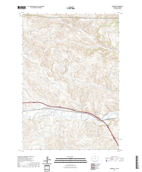
2021 Map of Monarch
USGS Topo · Published 2021About this map
Kleenburn stands as a focal point in this portion of Sheridan County, situated along the banks of the Tongue River. The landscape is defined by an intricate network of water management and natural drainages, including the Tongue River Ditch and numerous seasonal creeks such as Little Ash Cr, Slater Cr, and Hidden Water Cr. The terrain rises from the river valley into a series of draws and ridges, exemplified by the prominent Dan Draw north of the main settlements.
Find a feature on this map
37 named features on this map. Tap any name to fly to it.
Don’t see what you’re looking for? This feature index may not catch every label — zoom into the map to look around manually.
Map Details
Editions of this 2021 Monarch Map
This is the sole edition of this map. No revisions or reprints were ever made.
Other maps of this area

1894 · Rosebud
USGS Topo · 1:125,000

1895 · Dayton
USGS Topo · 1:125,000

1901 · Rosebud
USGS Topo · 1:125,000

1901 · Dayton
USGS Topo · 1:125,000

1909 · Sheridan
USGS Topo · 1:125,000

1911 · Sheridan
USGS Topo · 1:125,000

1954 · Hardin
USGS Topo · 1:250,000

1955 · Sheridan
USGS Topo · 1:250,000

1957 · Hardin
USGS Topo · 1:250,000

1958 · Hardin
USGS Topo · 1:250,000