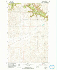
1969 Map of Mondovi
USGS Topo · Published 1993About this map
Mondovi serves as the primary settlement on this Lincoln County landscape, centered around its rail-side infrastructure in the late 1960s. The presence of Grain Elevators at the town site underscores the agricultural foundation of the region, where dryland farming meets a complex system of drainage ravines. To the north, the terrain is defined by a series of prominent breaks including Harker Canyon, Greene Canyon, and Mill Canyon, which carve through the plateau toward the northeast corner of the sheet. Industrial activity is localized at a Gravel Pit near Squaw Canyon, while the remainder of the quadrangle is marked by a network of section-line roads and scattered water sources such as Spring and Well, reflecting the logistical requirements of managing this expansive Washington wheat country.
Find a feature on this map
10 named features on this map. Tap any name to fly to it.
Don’t see what you’re looking for? This feature index may not catch every label — zoom into the map to look around manually.
Map Details
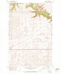
Editions of this 1969 Mondovi Map
2 editions found
Other maps of this area

1944 · Wellpinit
USGS Topo · 1:62,500

1945 · Reardan
USGS Topo · 1:62,500

1948 · Turtle Lake
USGS Topo · 1:62,500

1950 · Turtle Lake
USGS Topo · 1:62,500

1953 · Reardan
USGS Topo · 1:62,500

1953 · Wellpinit
USGS Topo · 1:62,500

1953 · Ritzville
USGS Topo · 1:250,000

1955 · Spokane
USGS Topo · 1:250,000

1958 · Spokane
USGS Topo · 1:250,000

1959 · Ritzville
USGS Topo · 1:250,000