
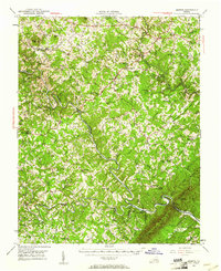
1951 Map of Moneta
USGS Topo · Published 1953About this map
The Roanoke River carves a deep, winding path through the Piedmont of the early 1950s, defining the rugged border between Bedford and Franklin counties. This period captures the landscape before the massive waters of Smith Mountain Lake forever altered the topography. Along the steep banks of the river and its tributaries, such as Blackwater River and Goose Creek, the map details a rural society organized around small communities like Moneta and Goodview. Local life is anchored by a dense network of country schools including Promised Land Sch and Piney Grove Sch, alongside numerous churches such as Western Light Ch and Olive Branch Ch. The presence of the Virginian railroad and structures like Davis Mill and Valley Mills highlights the local transport and milling economy that shaped these central Virginia settlements during the mid-century era.
Find a feature on this map
88 named features on this map. Tap any name to fly to it.
Don’t see what you’re looking for? This feature index may not catch every label — zoom into the map to look around manually.
Map Details
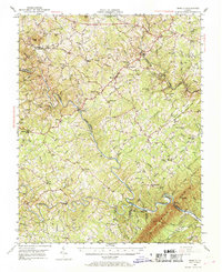
Editions of this 1951 Moneta Map
3 editions found
Other maps of this area

1890 · Roanoke
USGS Topo · 1:125,000

1891 · Roanoke
USGS Topo · 1:125,000

1892 · Lynchburg
USGS Topo · 1:125,000

1921 · Chatham
USGS Topo · 1:48,000

1922 · Callands
USGS Topo · 1:48,000

1923 · Chatham
USGS Topo · 1:62,500

1924 · Callands
USGS Topo · 1:62,500

1925 · Rocky Mount
USGS Topo · 1:48,000

1927 · Rocky Mount
USGS Topo · 1:62,500

1929 · Roanoke
USGS Topo · 1:48,000