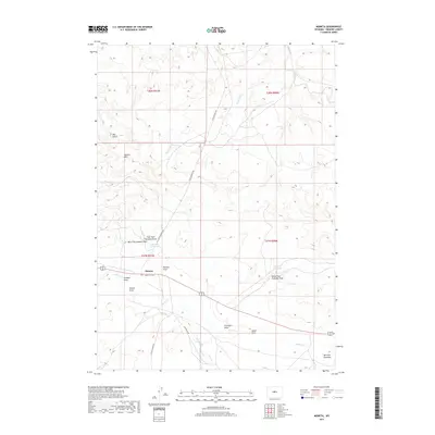
2017 Map of Moneta
USGS Topo · Published 2017About this map
Moneta serves as the primary landmark in this high-plains landscape of central Wyoming, situated at the junction of the Lysite Moneta RD and the main east-west corridor. The drainage patterns across this terrain are defined by numerous draws and intermittent streams, such as Poison Cr and Reservoir Cr, which feed into localized catchments like Graham Reservoir and Frenchie Reservoir. These water sources were essential for ranching operations in the arid Wind River Basin.
Find a feature on this map
26 named features on this map. Tap any name to fly to it.
Don’t see what you’re looking for? This feature index may not catch every label — zoom into the map to look around manually.
Map Details
Editions of this 2017 Moneta Map
This is the sole edition of this map. No revisions or reprints were ever made.
Other maps of this area

1952 · Seventy-one Reservoir
USGS Topo · 1:24,000

1952 · Squaw Butte NE
USGS Topo · 1:24,000

1952 · Squaw Butte
USGS Topo · 1:24,000

1952 · Gates Butte
USGS Topo · 1:24,000

1952 · Moneta
USGS Topo · 1:24,000

1952 · Lysite
USGS Topo · 1:24,000

1952 · Madden
USGS Topo · 1:24,000

1952 · Lysite SE
USGS Topo · 1:24,000

1952 · Moneta SE
USGS Topo · 1:24,000

1955 · Arminto
USGS Topo · 1:250,000