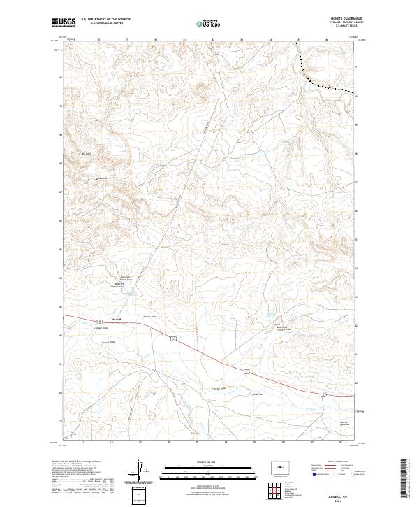
2021 Map of Moneta
USGS Topo · Published 2021About this map
Moneta serves as the central hub of this Fremont County landscape, situated along a transportation corridor where the Moneta-Svc-Rd and US Route 20/26 intersect. The surrounding terrain is defined by an intricate network of ephemeral watercourses and draws, such as Poison Cr and Frenchie Draw, which carve through the high plains toward features like the Alkali Flats. Local ranching and land management are evident through the naming of various rural routes, including Linn Ranch Rd and Scotty Clark Rd, which provide access to the hinterlands.
Find a feature on this map
29 named features on this map. Tap any name to fly to it.
Don’t see what you’re looking for? This feature index may not catch every label — zoom into the map to look around manually.
Map Details
Editions of this 2021 Moneta Map
This is the sole edition of this map. No revisions or reprints were ever made.
Other maps of this area

1952 · Seventy-one Reservoir
USGS Topo · 1:24,000

1952 · Squaw Butte NE
USGS Topo · 1:24,000

1952 · Squaw Butte
USGS Topo · 1:24,000

1952 · Gates Butte
USGS Topo · 1:24,000

1952 · Moneta
USGS Topo · 1:24,000

1952 · Lysite
USGS Topo · 1:24,000

1952 · Madden
USGS Topo · 1:24,000

1952 · Lysite SE
USGS Topo · 1:24,000

1952 · Moneta SE
USGS Topo · 1:24,000

1955 · Arminto
USGS Topo · 1:250,000