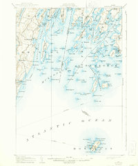
1906 Map of Monhegan
USGS Topo · Published 1944About this map
Monhegan stands as the southern sentinel of this coastal landscape, separated from the mainland by a broad stretch of the Atlantic where steamboat routes once linked these isolated island outposts to the growing trade centers of the Maine coast. The mainland is defined by a series of deep-water peninsulas and sheltered harbors, including the busy maritime hubs of Port Clyde and New Harbor. Between the coastal settlements of Bremen and Friendship, the map reveals an intricate network of narrow channels like Hockomock Channel and Flying Passage, which served the local fishing and granite fleets of the era. On-shore, family-named landmarks such as Jameson Pt and Burton Pt highlight the localized nature of land ownership and seafaring heritage at the start of the twentieth century. The cartography provides a clear picture of the maritime infrastructure of the day, including the Life Saving Station and several lighthouses necessary for navigating the dangerous rocks and ledges of Muscongus Sound.
Find a feature on this map
163 named features on this map. Tap any name to fly to it.
Don’t see what you’re looking for? This feature index may not catch every label — zoom into the map to look around manually.
Map Details
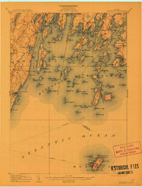
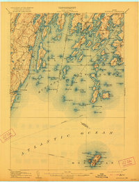
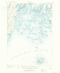
Editions of this 1906 Monhegan Map
5 editions found
Other maps of this area

1893 · Wiscasset
USGS Topo · 1:62,500

1893 · Boothbay
USGS Topo · 1:62,500

1904 · Monhegan
USGS Topo · 1:62,500

1904 · Tenants Harbor
USGS Topo · 1:62,500

1904 · Rockland
USGS Topo · 1:62,500

1906 · Tennant Harbor
USGS Topo · 1:62,500

1906 · Monhegan
USGS Topo · 1:62,500

1906 · Rockland
USGS Topo · 1:62,500

1913 · Waldoboro
USGS Topo · 1:48,000

1915 · Waldoboro
USGS Topo · 1:62,500