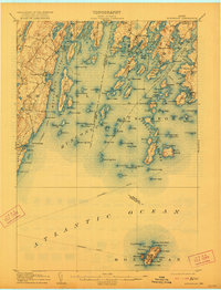
1906 Map of Monhegan
USGS Topo · Published 1921About this map
Monhegan Island stands as a distinct maritime outpost in the open Atlantic Ocean, centered in this early twentieth-century coastal study. On the mainland, the intricate shoreline of Muscongus Bay and the St George River reveals a landscape defined by seafaring commerce and small coastal villages. Settlements like Port Clyde, New Harbor, and Round Pond serve as focal points for the region's mid-coast Maine character.
Find a feature on this map
154 named features on this map. Tap any name to fly to it.
Don’t see what you’re looking for? This feature index may not catch every label — zoom into the map to look around manually.
Map Details
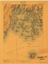
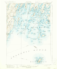
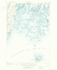
Editions of this 1906 Monhegan Map
5 editions found
Other maps of this area

1893 · Wiscasset
USGS Topo · 1:62,500

1893 · Boothbay
USGS Topo · 1:62,500

1904 · Monhegan
USGS Topo · 1:62,500

1904 · Tenants Harbor
USGS Topo · 1:62,500

1904 · Rockland
USGS Topo · 1:62,500

1906 · Tennant Harbor
USGS Topo · 1:62,500

1906 · Monhegan
USGS Topo · 1:62,500

1906 · Rockland
USGS Topo · 1:62,500

1913 · Waldoboro
USGS Topo · 1:48,000

1915 · Waldoboro
USGS Topo · 1:62,500