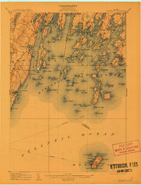
1906 Map of Monhegan
USGS Topo · Published 1912About this map
Monhegan stands isolated in the Atlantic Ocean, a landmark for the maritime commerce that defined the Maine coast in the early twentieth century. This survey documents the intricate coastal geography between the Bristol and St George shorelines, where the primary movement of goods and people relied on the steamboat route cutting through Muscongus Bay. On the mainland, small fishing and trading hubs like Port Clyde, Friendship, and New Harbor are shown during an era of transition as coastal industries matured.
Find a feature on this map
148 named features on this map. Tap any name to fly to it.
Don’t see what you’re looking for? This feature index may not catch every label — zoom into the map to look around manually.
Map Details
Editions of this 1906 Monhegan Map
5 editions found
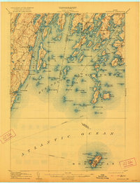
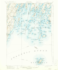
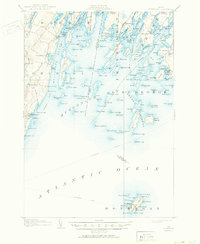
Other maps of this area

1893 · Wiscasset
USGS Topo · 1:62,500

1893 · Boothbay
USGS Topo · 1:62,500

1904 · Monhegan
USGS Topo · 1:62,500

1904 · Tenants Harbor
USGS Topo · 1:62,500

1904 · Rockland
USGS Topo · 1:62,500

1906 · Tennant Harbor
USGS Topo · 1:62,500

1906 · Monhegan
USGS Topo · 1:62,500

1906 · Rockland
USGS Topo · 1:62,500

1913 · Waldoboro
USGS Topo · 1:48,000

1915 · Waldoboro
USGS Topo · 1:62,500