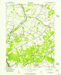
1954 Map of Monmouth Junction
USGS Topo · Published 1956About this map
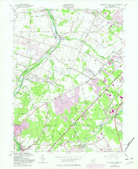
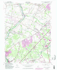
The Delaware and Raritan Canal carves a distinctive path through this mid-century landscape, running parallel to the Millstone River along the western boundary. This area, spanning portions of Franklin, South Brunswick, and Montgomery townships, shows a complex intersection of historic transit and early suburban expansion. Significant heritage sites like the Washington Headquarters near Rockingham anchor the southern reach, while the Pennsylvania Railroad facilitates commerce through Monmouth Junction and Deans. The survey captures numerous small settlements and family-named roads such as Beekman Road and Stouts Lane, alongside several memorial parks and older burial grounds like Ten Mile Run Cem. Notable geological landmarks include the Sand Hills and Little Rocky Hill, which rise above the surrounding brooks and drainage basins of Six Mile Run and Pigeon Swamp.
Find a feature on this map
58 named features on this map. Tap any name to fly to it.
Don’t see what you’re looking for? This feature index may not catch every label — zoom into the map to look around manually.
Map Details
Editions of this 1954 Monmouth Junction Map
6 editions found
Other maps of this area

1888 · Plainfield
USGS Topo · 1:62,500

1888 · New Brunswick
USGS Topo · 1:62,500

1888 · Princeton
USGS Topo · 1:62,500

1891 · Somerville
USGS Topo · 1:62,500

1893 · New Brunswick
USGS Topo · 1:62,500

1893 · Plainfield
USGS Topo · 1:62,500

1893 · Somerville
USGS Topo · 1:62,500

1894 · Princeton
USGS Topo · 1:62,500

1898 · Plainfield
USGS Topo · 1:62,500

1898 · Somerville
USGS Topo · 1:62,500
Featured Places
- Franklin Township, NJ
- South Brunswick, NJ
- North Brunswick Township, NJ
- Hillsborough Township, NJ
- Montgomery Township, NJ