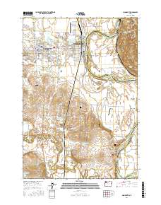
2017 Map of Monmouth
USGS Topo · Published 2017About this map
Western Oregon Univ anchors the city of Monmouth, while the neighboring town of Independence stretches toward the Willamette River. This 2017 survey documents a landscape defined by its riparian geometry, where the river carves out the Independence Bend and creates landforms like Tyson Island and the American Bottom. The rural spaces between settlements are dotted with numerous small-scale reservoirs such as Garrison Reservoir and Nisly Reservoir, illustrating the area's intensive agricultural and water management history.
Find a feature on this map
91 named features on this map. Tap any name to fly to it.
Don’t see what you’re looking for? This feature index may not catch every label — zoom into the map to look around manually.
Map Details
Editions of this 2017 Monmouth Map
This is the sole edition of this map. No revisions or reprints were ever made.
Other maps of this area

1912 · Jefferson
USGS Topo · 1:31,680

1913 · Wells
USGS Topo · 1:31,680

1914 · Independence
USGS Topo · 1:31,680

1914 · Soap Creek
USGS Topo · 1:31,680

1915 · Rickreall
USGS Topo · 1:31,680

1915 · Eola
USGS Topo · 1:31,680

1915 · Sidney
USGS Topo · 1:31,680

1916 · Albany
USGS Topo · 1:62,500

1917 · Salem
USGS Topo · 1:62,500

1921 · Corvallis
USGS Topo · 1:62,500