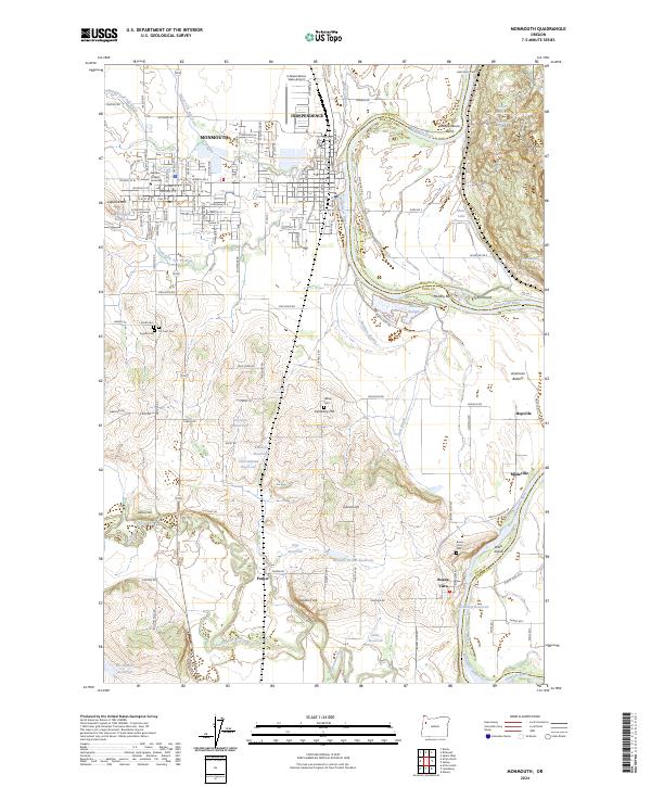
2024 Map of Monmouth
USGS Topo · Published 2024About this map
Monmouth and Independence anchor this 2024 landscape in Polk County, where the agricultural flats of the American Bottom meet the shifting curves of the Willamette River. The area is a dense network of water management and education, home to Western Oregon University and numerous irrigation features like Garrison Reservoir and Nisly Reservoir. Small settlements such as Parker, Buena Vista, and Modeville dot the rural reaches, connected by historic routes like Old Fort Rd and Corvallis Rd.
Find a feature on this map
86 named features on this map. Tap any name to fly to it.
Don’t see what you’re looking for? This feature index may not catch every label — zoom into the map to look around manually.
Map Details
Editions of this 2024 Monmouth Map
This is the sole edition of this map. No revisions or reprints were ever made.
Other maps of this area

1912 · Jefferson
USGS Topo · 1:31,680

1913 · Wells
USGS Topo · 1:31,680

1914 · Independence
USGS Topo · 1:31,680

1914 · Soap Creek
USGS Topo · 1:31,680

1915 · Rickreall
USGS Topo · 1:31,680

1915 · Eola
USGS Topo · 1:31,680

1915 · Sidney
USGS Topo · 1:31,680

1916 · Albany
USGS Topo · 1:62,500

1917 · Salem
USGS Topo · 1:62,500

1921 · Corvallis
USGS Topo · 1:62,500