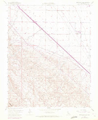
1955 Map of Monocline Ridge
USGS Topo · Published 1972About this map
The crest of Monocline Ridge dominates this 1955 survey, revealing the high-elevation transition from the foothills of the Coast Ranges down into the irrigation-dependent flatlands of the Central Valley. Infrastructure is the primary story here, shown through the massive California Aqueduct slicing through the northeast corner and a series of heavy industrial lines, including several marked Pipeline. Settlement is sparse, anchored by the Chaney Pumping Station at the junction of Dinuba Avenue and Newcomb Avenue. The land's utility is further marked by a series of Prospect sites and Water Tanks (Abandoned) in the rugged drainages of Tumey Gulch, suggesting an era of shifting water needs and mineral exploration. Significant updates from 1971, shown in purple, capture the expansion of the regional road network along Manning Avenue and Floral Ave.
Find a feature on this map
15 named features on this map. Tap any name to fly to it.
Don’t see what you’re looking for? This feature index may not catch every label — zoom into the map to look around manually.
Map Details
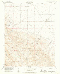
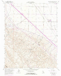
Editions of this 1955 Monocline Ridge Map
4 editions found

Other maps of this area

1912 · Coalinga
USGS Topo · 1:125,000

1913 · Panoche
USGS Topo · 1:125,000

1915 · Priest Valley
USGS Topo · 1:125,000

1921 · Tierra Loma School
USGS Topo · 1:31,680

1922 · Tufts Ranch
USGS Topo · 1:31,680

1922 · Chaney Ranch
USGS Topo · 1:31,680

1923 · Levis
USGS Topo · 1:31,680

1923 · Tierra Loma School
USGS Topo · 1:31,680

1923 · Monocline Ridge
USGS Topo · 1:31,680

1943 · New Idria
USGS Topo · 1:62,500