
1955 Map of Monocline Ridge
USGS Topo · Published 1961About this map
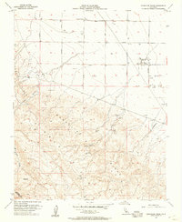
Monocline Ridge and the Tumey Hills dominate this mid-century landscape in the western San Joaquin Valley, where the transition from rugged uplands to the valley floor is marked by significant industrial infrastructure. The area’s water and energy economy is evident through the presence of the Chaney Pumping Station, an Oil Tank, and a network of agricultural thoroughfares including Manning Avenue and Floral Ave.
Find a feature on this map
24 named features on this map. Tap any name to fly to it.
Don’t see what you’re looking for? This feature index may not catch every label — zoom into the map to look around manually.
Map Details
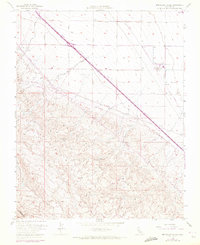
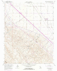
Editions of this 1955 Monocline Ridge Map
4 editions found
Other maps of this area

1912 · Coalinga
USGS Topo · 1:125,000

1913 · Panoche
USGS Topo · 1:125,000

1915 · Priest Valley
USGS Topo · 1:125,000

1921 · Tierra Loma School
USGS Topo · 1:31,680

1922 · Tufts Ranch
USGS Topo · 1:31,680

1922 · Chaney Ranch
USGS Topo · 1:31,680

1923 · Levis
USGS Topo · 1:31,680

1923 · Tierra Loma School
USGS Topo · 1:31,680

1923 · Monocline Ridge
USGS Topo · 1:31,680

1943 · New Idria
USGS Topo · 1:62,500