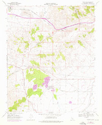
1966 Map of Monolith
USGS Topo · Published 1976About this map
Tehachapi Valley provides the dramatic setting for this mid-century topographic record, dominated by the industrial and transit corridors of the Tehachapi Pass. The settlement of Monolith sits at the edge of the seasonal Proctor Lake, serving as a critical point where the Atchison Topeka and Santa Fe and Southern Pacific railroads converge. These iron paths follow the natural contours through Sand Canyon and alongside Cache Creek, tracing the essential logistics route between the Central Valley and the Mojave.
Find a feature on this map
30 named features on this map. Tap any name to fly to it.
Don’t see what you’re looking for? This feature index may not catch every label — zoom into the map to look around manually.
Map Details
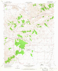
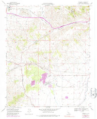
Editions of this 1966 Monolith Map
3 editions found
Other maps of this area

1915 · Elizabeth Lake
USGS Topo · 1:125,000

1915 · Mojave
USGS Topo · 1:125,000

1917 · Elizabeth Lake
USGS Topo · 1:125,000

1943 · Rosamond
USGS Topo · 1:62,500

1943 · Tehachapi
USGS Topo · 1:62,500

1943 · Mojave
USGS Topo · 1:62,500

1943 · Willow Springs
USGS Topo · 1:62,500

1947 · Mojave
USGS Topo · 1:24,000

1947 · Soledad Mountain
USGS Topo · 1:24,000

1948 · Bakersfield
USGS Topo · 1:250,000