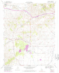
1966 Map of Monolith
USGS Topo · Published 1986About this map
The settlement of Monolith sits at the western edge of the Tehachapi Valley, where the industrial character of the mid-1960s landscape is defined by extensive infrastructure. Major transportation corridors converge here, with the Atchison Topeka and Santa Fe and Southern Pacific railroads traversing the mountain pass. The map details a rugged transition from the valley floor, featuring Proctor Lake and nearby Cooling Ponds, into the steep terrain of the Tehachapi Mountains.
Find a feature on this map
39 named features on this map. Tap any name to fly to it.
Don’t see what you’re looking for? This feature index may not catch every label — zoom into the map to look around manually.
Map Details
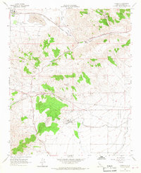
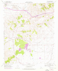
Editions of this 1966 Monolith Map
3 editions found
Other maps of this area

1915 · Elizabeth Lake
USGS Topo · 1:125,000

1915 · Mojave
USGS Topo · 1:125,000

1917 · Elizabeth Lake
USGS Topo · 1:125,000

1943 · Rosamond
USGS Topo · 1:62,500

1943 · Tehachapi
USGS Topo · 1:62,500

1943 · Mojave
USGS Topo · 1:62,500

1943 · Willow Springs
USGS Topo · 1:62,500

1947 · Mojave
USGS Topo · 1:24,000

1947 · Soledad Mountain
USGS Topo · 1:24,000

1948 · Bakersfield
USGS Topo · 1:250,000