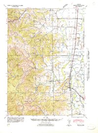
1922 Map of Monroe
USGS Topo · Published 1937About this map
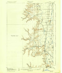
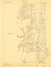
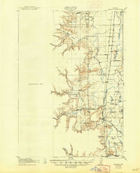
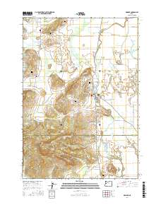
The Long Tom River flows through the heart of the Willamette Valley in this 1922 survey, revealing a landscape defined by its intricate system of sloughs and seasonal lakes. The town of Monroe serves as a central hub where the Southern Pacific railroad meets the West Side Pacific Highway, illustrating the critical role of these transport corridors in the early 20th-century agrarian economy. The eastern flats are dotted with ephemeral water bodies like Harkens Lake and Whitaker Lake, many of which were historically tied to the shifting channels of the river system.
Find a feature on this map
52 named features on this map. Tap any name to fly to it.
Don’t see what you’re looking for? This feature index may not catch every label — zoom into the map to look around manually.
Map Details
Editions of this 1922 Monroe Map
4 editions found

Historical Maps of Monroe Through Time
11 maps found

1911 Monroe
Benton County, OR
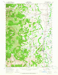
1922 Monroe
Benton County, OR
1939 Monroe
Benton County, OR
1942 Monroe
Benton County, OR
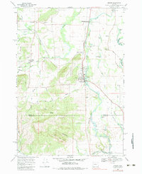
1957 Monroe
Benton County, OR
1969 Monroe
Benton County, OR
2011 Monroe
Benton County, OR

2014 Monroe
Benton County, OR
2017 Monroe
Benton County, OR
2020 Monroe
Benton County, OR
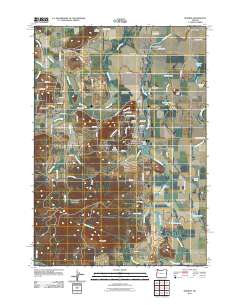
2023 Monroe
Benton County, OR