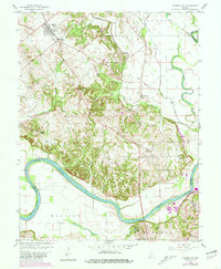
1958 Map of Monroe City
USGS Topo · Published 1981About this map
Monroe City and the surrounding farmland of southern Knox County define this landscape as it appeared in the mid-20th century. The White River carves a dramatic path through the southern half of the sheet, creating prominent geographic features like the Sevenmile Bend and The Bluffs. The map illustrates a rural society organized around local landmarks and drainage systems, including the Kessinger Ditch and several small water bodies such as Warner Lake and Patrick Pond. Scattered churches and small settlements like Willis and Five Points suggest a tight-knit community structure typical of the era.
Find a feature on this map
36 named features on this map. Tap any name to fly to it.
Don’t see what you’re looking for? This feature index may not catch every label — zoom into the map to look around manually.
Map Details
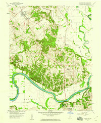
Editions of this 1958 Monroe City Map
2 editions found
Other maps of this area

1902 · Ditney
USGS Topo · 1:125,000

1903 · Velpen
USGS Topo · 1:62,500

1903 · Petersburg
USGS Topo · 1:62,500

1942 · Fritchton
USGS Topo · 1:24,000

1944 · Fritchton
USGS Topo · 1:24,000

1944 · Washington
USGS Topo · 1:24,000

1944 · Monroe City
USGS Topo · 1:24,000

1944 · Wheatland
USGS Topo · 1:24,000

1944 · Iona
USGS Topo · 1:24,000

1945 · Sandy Hook
USGS Topo · 1:24,000